Mapping of forest cover and assessment of ecosystems and ecosystem services related to local livelihoods
Publicado en:
-
Resiliencia comunitaria
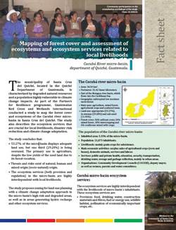
Cucubá River micro-basin, department of Quiché, Guatemala.
As part of the Partners for Resilience programme, Guatemalan Red Cross and Wetlands International conducted a study to map the forest cover and ecosystems of the Cucubá river microbasin in Santa Cruz del Quiché. The study also describes the ecosystem services that are crucial for local livelihoods, disaster risk reduction and climate change adaptation.